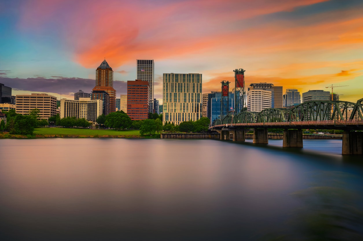
Portland, Oregon Natural Disasters: Riskiest Neighborhoods to Buy a Home
We don’t want to scare away potential homebuyers, but Mother Nature has some potentially powerful disasters to unleash on Portland. Are some neighborhoods safer than others? That depends on which disaster we’re talking about. Before you make a home investment in Portland, get to know what the hazards are and the best way to be prepared for each.
Risk #1: Portland Landslides
Areas to watch out for: West Multnomah County, from downtown Portland to Scappoose, as well as parts of Gresham to the east
Natural Disaster Risk: Landslides
Don’t buy a home here if: The address has a high landslide hazard risk. While there are some mitigation and prevention strategies, rain, mud and gravity can be a deadly mix.
Neighborhoods like Arlington Heights and Northwest Portland are known for historic homes and beautiful parks. However, these neighborhoods are also hotspots for landslide activity. The Oregon Department of Geology and Mineral Industries (DOGAMI) classifies the risk as Moderate to High that the land beneath these neighborhoods — going down more than 15 feet — could slump, slide, or sink away. in 2019, a landslide closed West Burnside Street in Portland for several days, and in 2015, a major Gresham roadway opened into a massive sinkhole after a culvert collapsed.
To help homeowners visualize landslide hazards, DOGAMI released new interactive maps in 2018 that allow the public to search for any address in Multnomah County and see the landslide hazard associated with that address. The map is split into three tabs: Landslide Inventory, Shallow Landslide Susceptibility, and Deep Landslide Susceptibility. Landslide Inventory shows landslides that have occurred in the past. The two Landslide Susceptibility maps show likely locations for future landslides, either shallow or deep. A shallow landslide is most often a debris flow and is fairly common in Portland during heavy winter rains. Deep landslides can go down dozens or even hundreds of feet, destroying entire hillsides.
For those evaluating landslide risk outside of Multnomah County, DOGAMI has a statewide risk map as well.
Risk #2: PDX Urban Heat Islands
Areas to watch out for: Central Portland, and anywhere density and traffic are high.
Natural Disaster Risk: Hot summer temperatures, low air quality
Don’t buy a home here if: You are sensitive to heat and poor air quality
We tend to think of “natural disasters” as hurricanes, lightning, tornadoes, floods, and earthquakes, but in fact, the CCD reports that excessive heat exposure contributes to more US deaths per year than any of these disasters combined. While Portland, with fewer sunny days than the US average, may not seem hot, we’re #4 in the nation for the Urban Heat Island effect. And when Portland heats up, air quality suffers, too. Between radon, smoke, and vehicle emissions, residents of Multnomah County are at higher risk of cancer from air pollution than anywhere else in Oregon.
An Urban Heat Island occurs when heat trapped by concrete during a hot summer day is radiated back out into the air, resulting in even hotter temperatures the next day and no cooling relief at night. The bigger the buildings, the more concrete, and the fewer trees, the worse the UHI index. A study by Climate Central found that summer temperatures in central Portland can be up to 19 degrees hotter than in rural areas nearby. That means on an average 80°F July day, downtown Portland could be sweltering at close to 100°F.
Heat is bad enough, but pollution is another problem that affects sensitive groups in the denser areas of Portland (view a density map here). Recent summers have been marked by high volumes of wildfire smoke, and while smoke is a major air quality problem for Oregon (it sent Portland to the #1 spot for worst air quality in the world in 2020), ground-level ozone is the pollutant to worry about if you spend much time in central Portland. This invisible gas can make breathing difficult and intensifies certain medical conditions. Traffic generates ozone, and it gets worse when temperatures are high.
Risk Scenario #3: Portland Earthquakes
Areas to watch out for: All of the coastal Pacific Northwest, including the metropolitan areas of Vancouver and Victoria, British Columbia; Seattle, Washington; and Portland, Oregon (especially the western side of the metro area)
Natural Disaster Risk: Earthquake
Don’t buy a home here if: You’re unwilling to be prepared for earthquakes and/or seismically retrofit your home.
It can be seen as some relief that the biggest threat to face the Pacific Northwest, including all of Portland, is also the easiest to prepare for. We’ve dedicated entire blog posts to discussing the Cascadia Subduction Zone, earthquake readiness, and where to get the best earthquake hazard maps. Scientists are now predicting a 40% chance of an 8.0 Cascadia earthquake to strike sometime in the next 50 years — the same magnitude of quake that devastated Mexico City in 1985.
Although Portland and surrounding communities could see big damages from earthquakes themselves, the aftereffects could be worse. We’re dependent on major infrastructure for our survival. If we lose the freeway system and most of the bridges that crisscross Portland, getting basic supplies, including drinking water, to parts of the city will be very tough. That’s why local officials emphasize preparedness — having a two-week supply of water and food for every household member. In addition, you can seismically retrofit your home to prevent major structural damage and speed up recovery time after the earthquake hits.
Risk #4: PDX Floods, like 1996
Areas to watch out for: North Portland along the Columbia, anywhere along the Willamette River, as well as Johnson Creek in Southeast Portland
Natural Disaster Risk: Flooding
Don’t buy a home here if: You’re not willing to invest in flood insurance and show up to stack sandbags when a big storm hits
Floods have plagued the City of Portland and surrounding communities since its founding, but the most recent significant flood happened in 1996. That’s when heavy spring rains combined with snowmelt to inundate local streams and rivers. The flooding affected the entire state of Oregon as well as some areas of Washington, Idaho, and California. In Portland, the Willamette River crested at 11 feet above its normal “flood stage.” Downtown Oregon City was entirely underwater. Downtown Portland was saved thanks to the efforts of hundreds of volunteers who constructed a wall out of plywood, plastic sheeting, and over 40,000 sandbags.
With climate change, snowmelt is expected to happen earlier in the year, coinciding with spring rains. That means we can expect more flooding in Portland. Fortunately, regional governments are stepping up to the challenge, reinforcing the levy along the Columbia River and giving incentives for stormwater reduction programs. It’s impossible to tell what the next big storm will hold, but the 100-year flood map will tell you if your future home is at risk.
Risk #5: Wildfires
Areas to watch out for: Eastern side of Portland nearer the Cascade Range
Natural Disaster Risk: Wildfire
Don’t buy a home here if: You’re not willing to purchase additional wildfire insurance or deal with air quality issues during the summer, and having a wildfire evacuation plan scares you.
While Portland hasn’t been hit by a true wildfire in recent years, as of 2023, its water supply is dangerously close to a wildfire called the Camp Creek Wildfire. Although Portland is at a minor risk of wildfires compared to other areas in Oregon, wildfires are quickly becoming a yearly occurrence in the state. Wildfires are not covered under most insurance plans, meaning you’d need extra insurance if a wildfire blew toward the city.
Even with wildfires staying outside the city limits, big impacts can still be felt in the city itself. For example, should the wildfire impact the Bull Run Watershed in the Mt. Hood National Forest significantly, that could cause issues for Portland’s water supply. Additionally, even without the wildfire making it to the edge of the city or near local neighborhoods, the smoke can cause significant health issues.
In fact, in September 2020, Oregon’s air quality in some areas was so bad due to wildfire smoke that it was breaking records for the poorest air quality on the planet, and that’s not a record you want to hold! This can pose issues for people with asthma, other breathing issues, allergies, and more, so keep that in mind before moving to Portland.
While the wildfires are well-contained in many areas and are unlikely to sweep across Portland, summer and fall are becoming fire season in Oregon, so it’s worth being prepared. Fires can cause traffic issues outside of the city or make commutes to other parts of Oregon hazardous. While Oregon has a robust firefighting service that works diligently to keep the people of Oregon safe from wildfires, it is something to consider before moving into the area.
It’s always a good idea to have a wildfire evacuation plan prepared and practiced with your family. A wildfire evacuation plan should include the following steps once you hear an evacuation may be in order:
- Get ready: Pack your valuables and any items you need on hand, and ensure family members and pets are close by. Ensure any vehicles have fuel. Be sure to bring vaccination and medical records for pets and family members.
- Get set: Keep an eye on news sources on social media, the radio, and television so you’re ready if an evacuation order does happen.
- Go: Only evacuate when you’re given the order to do so, to avoid traffic and confusion. Make sure to pack everything up and follow evacuation details given to you by local officials.
While you may find the idea of a wildfire worrisome, in most cases, the only impact you see in the Portland area is some smoke in the air that makes everything smell like woodsmoked bacon. Sure, the haziness during the summer may get old, but living in Portland keeps you safe from most of the wildfires, and there are countless failsafes in place to ensure Portland stays safe even if a wildfire is headed toward the area.
Is Portland a Safe Investment?
Thankfully, in addition to posing a few significant natural disaster risks, Portland has many more great things going for it than against it. We have excellent healthcare and citizen emergency response teams. We also have a high number of yoga studios, gyms, spas, wineries, and breweries per capita to help take the stress off! While we do encourage home buyers to consider natural disasters before they settle on a home in Portland, in the end, we can’t plan for every possible catastrophe, and no area is 100% safe. Will your home resist the forces of destruction? That’s truly impossible to say. Is Portland a great place to live and invest in a home? We can give that a definite YES. Contact our top 1% Portland real estate team today to learn more!